The Best Coast Photo Spots around Oakland in United States

Explore Coast pictures of Oakland with the travel spots on a map
12 Coast Spots of Oakland on a Map
Pictures of Coast on the interacive map of Oakland
Coast Spots and Pictures around Oakland
Discover popular destinations in Oakland with their travel guides
Oakland
Read the Travel guide View on Google Maps
San Francisco
13 km away from Oakland
Read the Travel guide View on Google Maps
Golden Gate Bridge
18 km away from Oakland
Read the Travel guide View on Google Maps
US-101
18 km away from Oakland
Read the Travel guide View on Google Maps
Marin Headlands
20 km away from Oakland
Read the Travel guide View on Google Maps

Mount Tamalpais
31 km away from Oakland
Read the Travel guide View on Google Maps

Sawyer Camp Recreation Trail
31 km away from Oakland
Read the Travel guide View on Google Maps
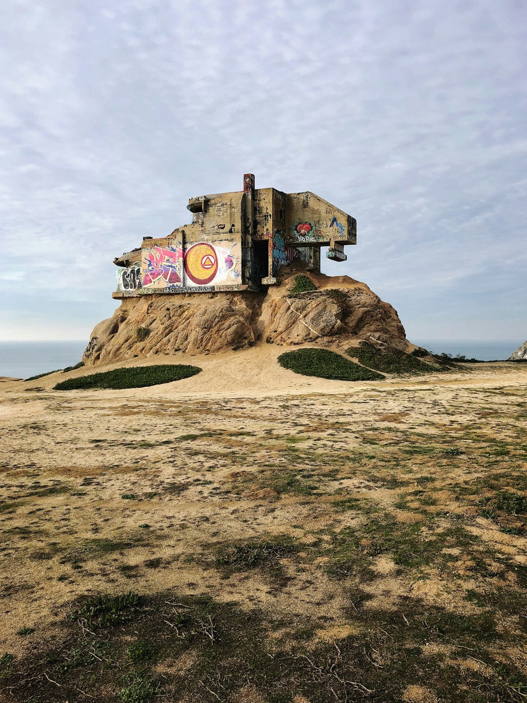
Bunker Point
34 km away from Oakland
Read the Travel guide View on Google Maps
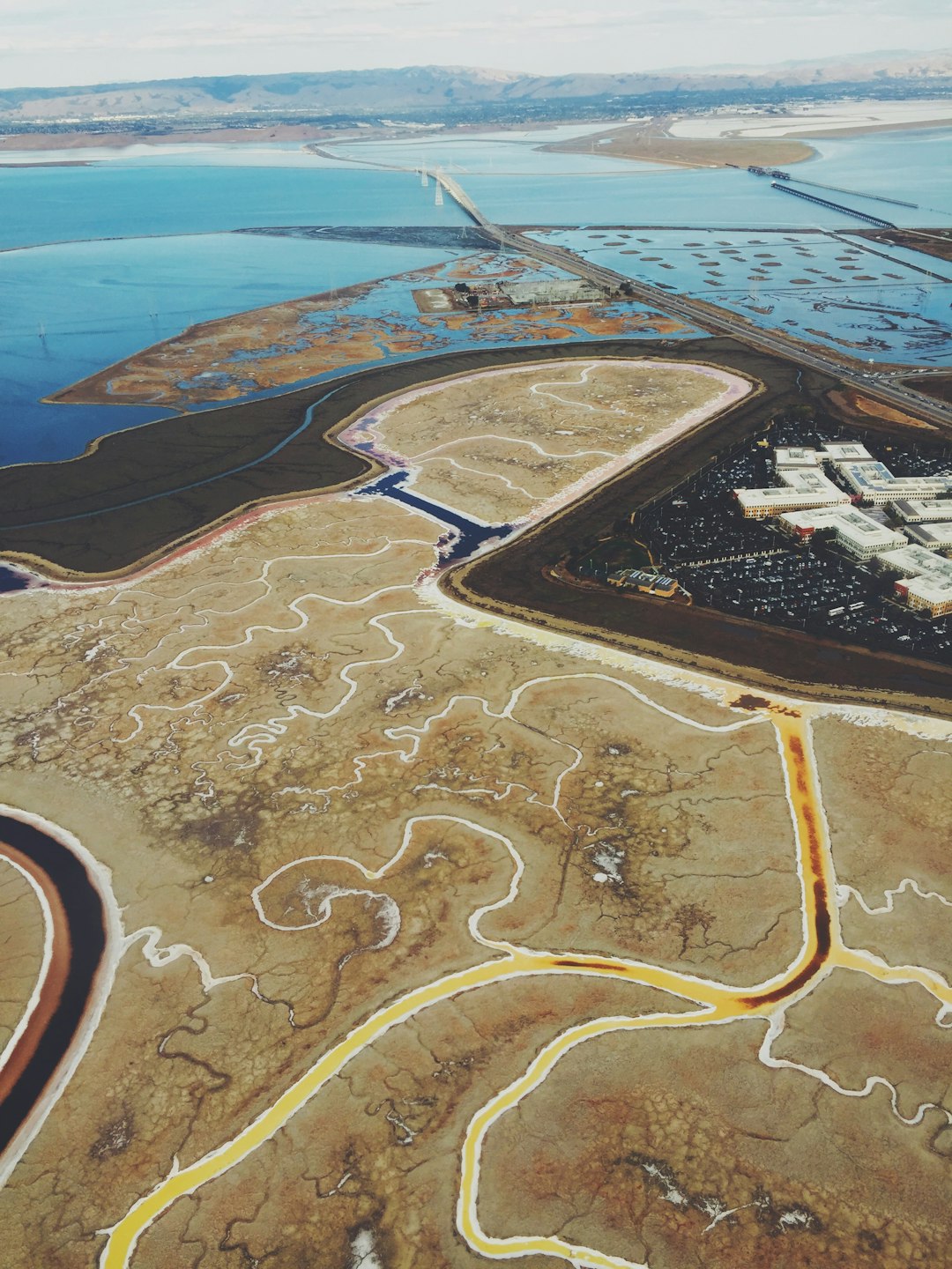
Redwood City
38 km away from Oakland
Read the Travel guide View on Google Maps
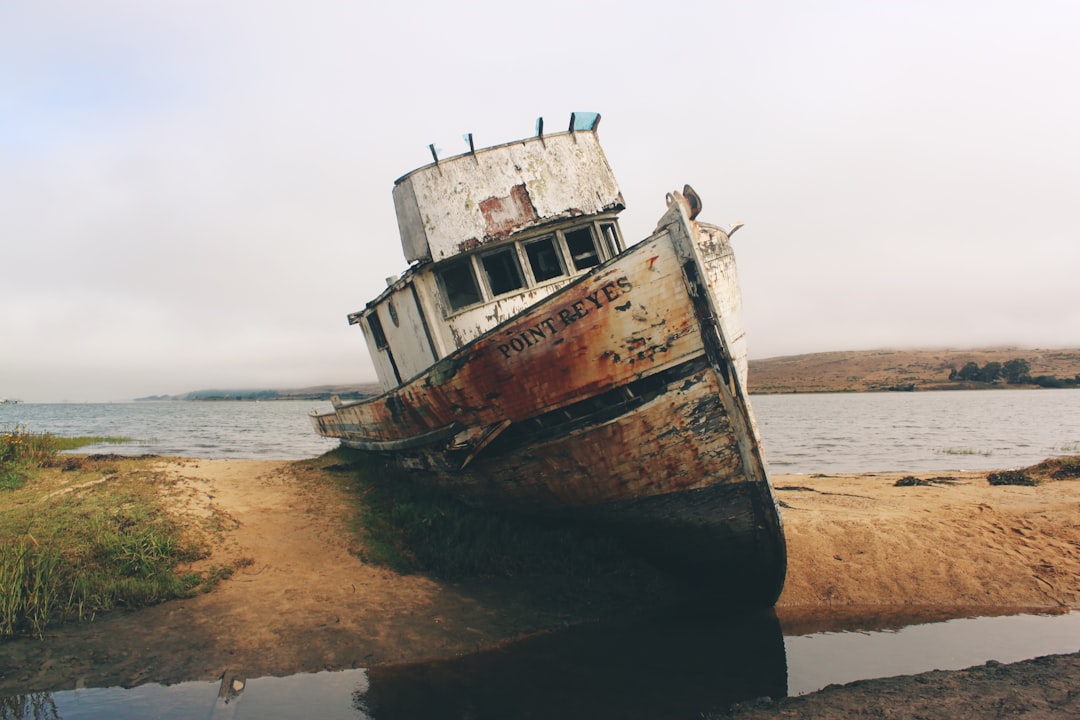
Point Reyes Station
55 km away from Oakland
Read the Travel guide View on Google Maps
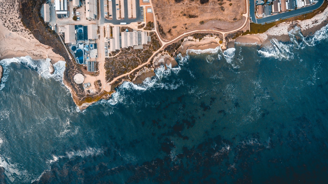
Davenport
88 km away from Oakland
Read the Travel guide View on Google Maps

Santa Cruz
97 km away from Oakland
Read the Travel guide View on Google Maps
Book your Travel Experience in Oakland
Discover the best tours and activities in Oakland and book your travel experience today with our booking partners
Learn More about Oakland
Find Hotels in Oakland
Discover the best hotels around Oakland, United States and book your stay today with our booking partner booking.com